The Best Walks In The Brecon Beacons
Looking for the great Brecon Beacons walks? Welcome! You’re in the right place. The Brecon Beacons National Park is home to some of the great hikes and walks on offer in Wales. Some of the best walks in the Brecon Beacons are multi-day adventures, but this article is focused on walks that you can conquer in a day.
The Brecon Beacons National Park covers 519 square miles of stunning scenery spanning mid and south Wales. It’s home to some stunning peaks – including Pen y Fan, the highest peak in the UK south of Snowdonia at 886 metres – plus a great selection of lakes, waterfalls, rivers, and forestry for every type of adventure.
Unline the often craggy peaks of Snowdonia in North Wales, the Brecon Beacons is home to a more rolling landscape, but that’s not to say that there aren’t challenging walks too! We’ve detailed our picks of the best walks in the Brecon Beacons below, plus some tips for exploring the area.
Walking in the Brecon Beacons
Just like walking in any wilderness area, it’s important to plan ahead to make sure you have a good day. The weather in Wales can be changeable all year round, and the Brecon Beacons are no exception! A well-stocked backpack with everything you might need for a full day out on the hills is essential.
Our top tips for Brecon Beacons walks include:
- Plan your route – Make sure you have your route well planned. There are lots of great apps to help with this, and learning some navigational skills with a map and compass is a great back-up should any of your technology fail. It’s also a good idea to let someone know where you’re going, and when to expect you back in case anything should go wrong.
- Take supplies – Whatever the time of year, it’s important to carry enough food and water for the day. And the weather in Wales means you should carry some extra layers and a waterproof in case conditions do change. In summer, sunblock is a great idea (yes, the sun does shine here too!)
- Check the weather – make sure you know what the weather is going to be doing. It’s always a great idea to cross-check multiple sources to make sure you’re getting the right info.
If you’re planning a solo walk in the Brecon Beacons, check out this great guide to solo hiking by Chris Knight.
The Best Walks In The Brecon Beacons
So, without further ado, here are our tips for great hikes in the Brecon Beacons. From stunning mountain routes to riverside ambles — enjoy!
The Pen y Fan Classic – From Pont Ar Daf
Time: 2-3 hours return Distance: 3 miles

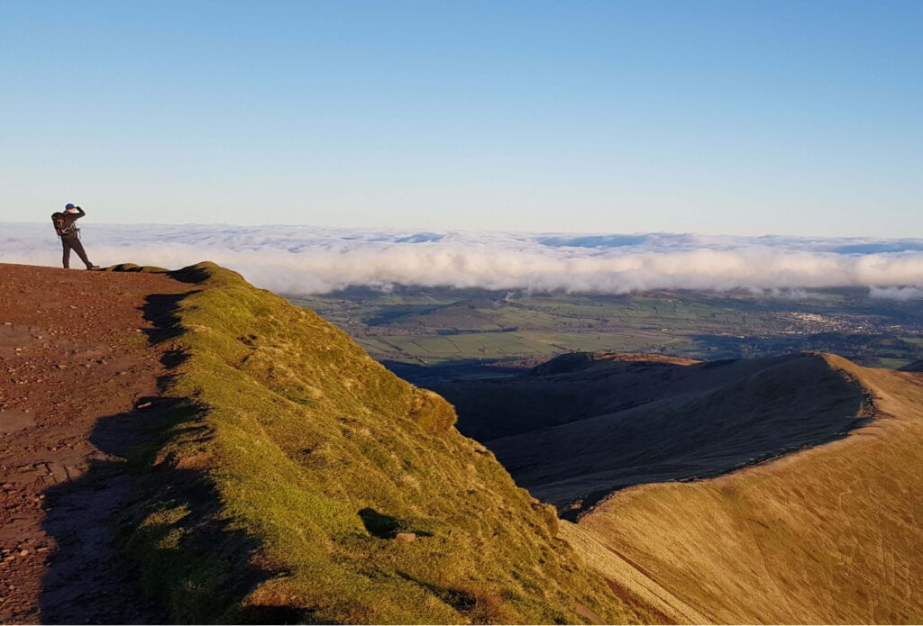
Pen y Fan is the highest peak in the Brecon Beacons. And, as you might expect, it’s also the most popular. That means the main route to the peak from Pont ar Daf car park can get pretty busy during the holidays and on weekends. But don’t let that put you off, the high foot traffic on this route means that the path is well maintained and easy to navigate meaning a sunrise or sunset is possible (just make sure you have a good head torch).
Walking Pen y Fan from Pont ar Daf is achievable for anyone with a good level of fitness, provided you’re happy to share the route with others. It’s around a two-hour round trip to the top, depending on how much time you take for pictures. If you’re looking for some more interesting routes up Pen y Fan and the surrounding peaks, keep scrolling!
Alternate Routes Up Pen y Fan
There are countless great walking routes that take in Pen y Fan, including the Beacons Horseshoe walk below. If you’re looking for a full day out in the Beacons, we’d recommend checking out our guide to all of the routes up Pen y Fan.
The Brecon Beacons Horseshoe Ridge Walk
Time: 5-6 hours Distance: 10 miles
The Brecon Beacons Horseshoe Ridge Walk is easily one of the best walks in the Brecon Beacons. It takes in many of the central peaks and gives incredible views across the whole national park. The circular route navigates the ridgeline and takes in Corn Du, Pen y Fan, Cribyn and Fan y Big.
The Beacons Horseshoe is a full-day hike, and you should allow 4-6 hours depending on your fitness and navigation skills. There are various places where you can start the walk, but most people choose to do it from Taf Fechan Forestry car park (you can also join the loop from Pont Ar Daf, but it will add to the distance of your day!) You can check out the full route on the National Trust website here.
Llyn y Fan Fach, Picws Du and Llyn y Fan Fawr Circuit, Camarthen Fans
Time: 4-5 hours Distance: 9 miles

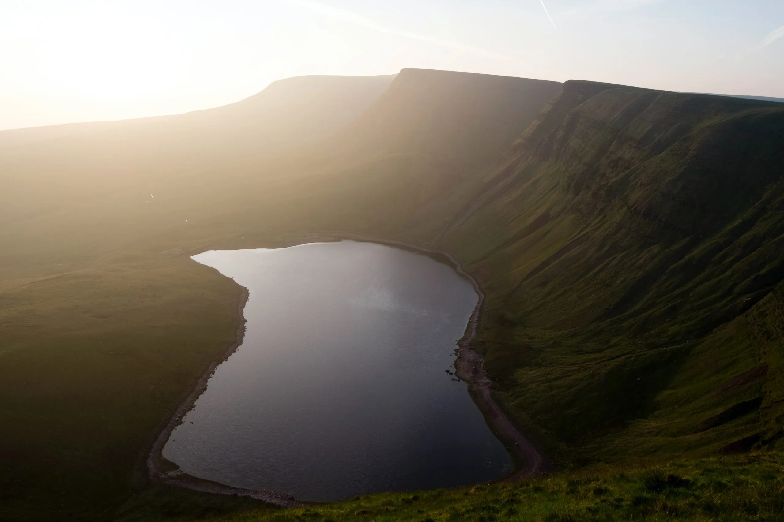
At the western end of the Brecon Beacons you’ll find the Carmarthen Fans. This less well trodden area of the park has some of the most stunning walks in the Brecon Beacons. There are a variety of loops and return walks you can take but our favourite is the full loop around both lakes and along the ridgeline above.
While the Llyn y Fan Fach car park near Llanddeusant offers the most direct route into the area, it’s often busy, so unless you’re going early you may struggle for parking space. This walk offers commanding views across the area, and on a clear day down towards the coast to the south. You’ll take in Picws Du, a beautiful summit looking down across the lakes.
Check out the full route on the OS Maps website here.
The Dragons Back – Waun Fach, Black Mountains
Time: 3-4 hours Distance: 7 miles
The Dragon’s Back walk can be found towards the eastern end of the national park, in the area known as the Black Mountains. Starting in the small village of Pengenffordd, the route takes you along some stunning ridges and up onto Waun Fach, one of the highest peaks in southern Britain at 811 metres. You’ll also pass through the remains of Castell Dinas Fort, the highest castle in England and Wales.
Check out the full route on the OS Maps website here.
Allt yr Esgair
Time: 1.5 hours Distance: 3 miles

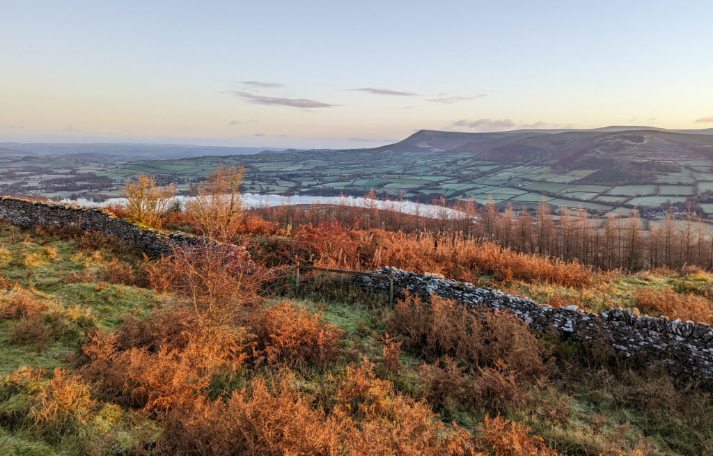
Allt yr Esgair — or “The Allt” as it’s known locally — is a brilliant hill walk in the heart of the Brecon Beacons. The Allt lies between the lovely Llangorse Lake and the A40 road into Brecon, and you’d easily miss it driving past, but it’s a great walk offering even better views over both Llangorse Lake and the central Beacons.
We like to start the walk from Llangasty Village Hall, where there are a few parking spots. From there the route is easy to follow up onto the hillside, and you can take one of a few paths up onto the peak and back round to make it a loop. If you’re up for a car shuffle, you can walk the full ridge in one direction towards Bwlch and the Welsh Venison Centre. Check out the route on Strava here.
Waterfall Country – Four Falls Trail
Time: 2-3 hours Distance: 5.5 miles
Waterfall Country lies on the southwest of the Brecon Beacons and is where four rivers merge to form the River Neath. The deep gorges provide some amazing waterfalls, and there are a number of great walks to enjoy in the area. It gets very busy in peak season, so if you can avoid school holidays and the weekends you’ll probably have a better time.
Check out the route on OS Maps here.
The Beacons Way
Distance: 99 miles
Ok, so this isn’t a day hike. At 99 miles it’s a definite multi-day adventure. But whether you’re walking it as one long-distance hike, or doing it section by section, it’s an epic way to see a huge amount of the Brecon Beacons on foot. The route starts in Abergavenny, winding its way across many of the Beacons’ peaks ending in Bethlehem.
The Beacons Way is one of many great long-distance hikes in Wales that we’d recommend checking out if you’re up for an amazing adventure! And don’t forget to check out our guide to the best places to eat in the Brecon Beacons while you’re at it.
